Out of all the six Itineraries, the Forest Trail is the shortest (26.1 Km only), but the one with the highest elevation (with an average height of approx. 750 m a.s.l.). The trail crosses dense forests in almost its entire route, whilst not being physically strenuous.
-
 The Trails
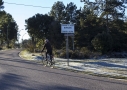
Itinerary The Forest Trail – ITID06


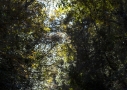


Climbing up from the village of Laconi, the route passes through the forest of Funtanamela and it reaches the hamlet of Santa Sofia. From here the way continues through the forest of Corongia that extends across the territory of Laconi reaching the outskirts of the village of Villanova Tulo.
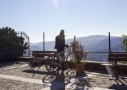
Along the trail at different points are scenic views, such as the rock formations of Su Pinneddu (in the district of Gadoni), Mount Santa Vittoria (in the district of Esterzili), and on the south side of the Sarcidano county the sights of Mount Simudis and the lake of Is Barroccus (in the district of Isili), the Giara plateau and the hill of Santu Antine (in the district of Genoni).
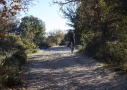
The path is not always accessible, especially in the winter season, however the stunning beauty of its scenery and breathtaking views make it an exciting day trip, with long stretches of solitary hiking in blissful silence offering a unique and moving experience.
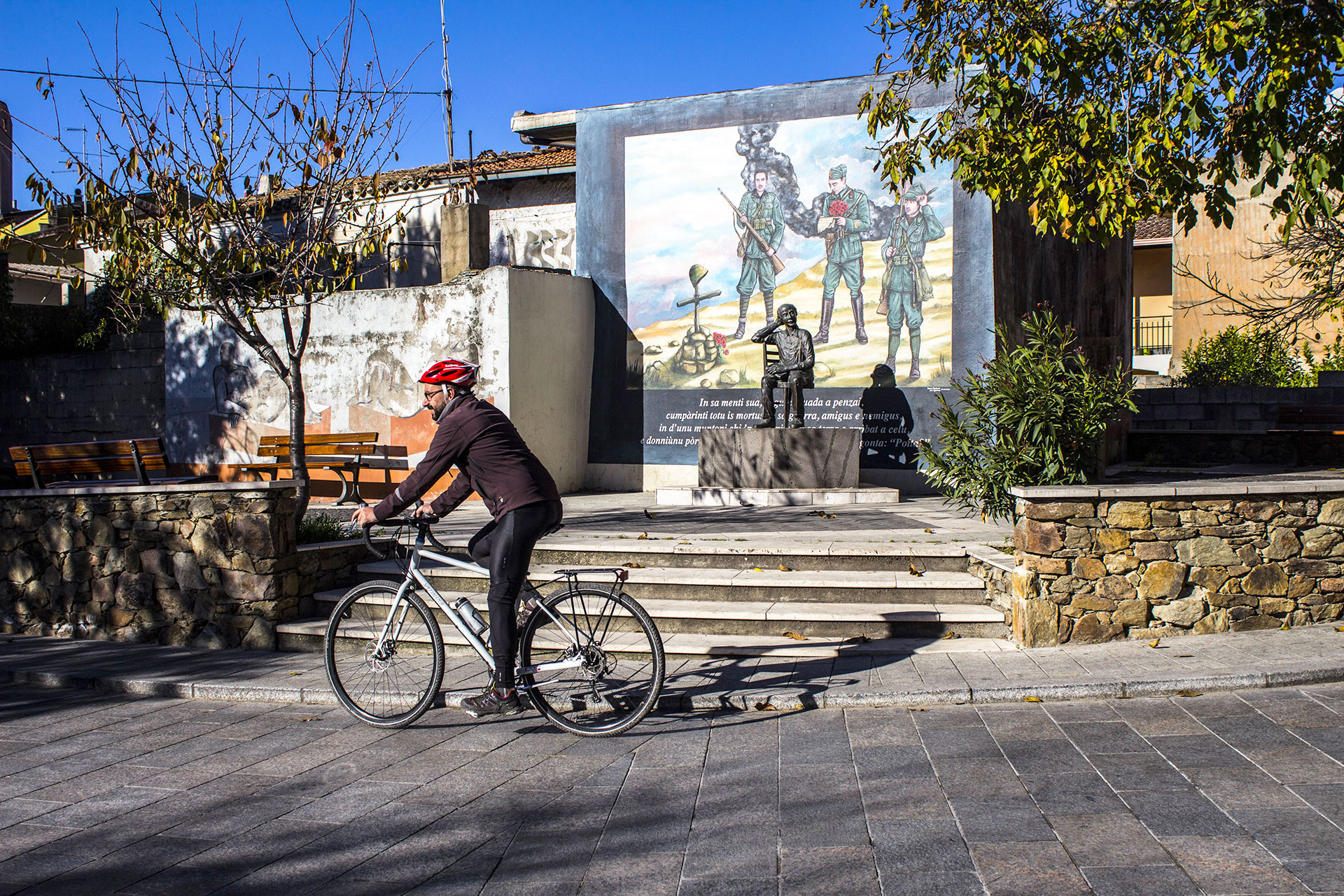
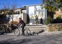
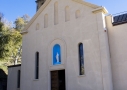
A stop in the village of Villanova Tulo offers the opportunity to admire the view of the Flumendosa river and the beautiful Murales (mural paintings) that illustrate the history of the place and of the local writer Benvenuto Lobina.
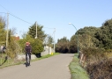
The trail offers a couple of alternative routes towards the Nuraghe Adoni, camouflaged against a background of thick vegetation, or through the forest of Pantaleu, with bird’s-eye views of the Flumendosa river canyon.


Difficulty level:
Scenic Beauty:
Itinerary Duration: 3 Hours
Total distance: : 26,100 Km
H
Max: 837 m a.s.l.
Min: 529 m a.s.l.
Max slope %
Max ascent: 20,7%
Max descent: -25,9%
Average slope
Ascent: 5,0%
Descent: -5,3%
Total ascent: 736 m
Scenic Beauty:
Itinerary Duration: 3 Hours
Total distance: : 26,100 Km
H
Max: 837 m a.s.l.
Min: 529 m a.s.l.
Max slope %
Max ascent: 20,7%
Max descent: -25,9%
Average slope
Ascent: 5,0%
Descent: -5,3%
Total ascent: 736 m